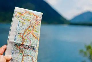
Not that long ago, before GPS or smartphones with map apps, there was the simple paper road map. Either as a single sheet, a larger, folded sheet of paper or bound as a collection of maps into a road atlas, the paper road map was a staple in our cars. But it seems these days, reading a roadmap has become a lost art. And a new generation of drivers are as reliant on GPS and map apps as generations before them were on paper maps. There is one significant difference though, paper roadmaps are far more reliable. GPS can go out, smart phones can run out of battery power but paper, paper remains.
But how does one read a road map? It’s really pretty simple. The basic road map breaks down into 5 basic steps.
- First there is the compass rose, this points the reader in the right direction giving you the right perspective in reading the map, orienting you from east to west, north to south.
- Then there is the index, which helps you find specific locations. Searching for an address or city? Rather than plugging in your destination, you will find where you want to go in the index. The index is an alphabetical list that often contains the locations of cities, streets and landmarks. Alongside each location you will find a letter and/or number column and row location. These column and rows locations correspond to the grid located on each map.
- Every map is set up as a grid. Columns are often lettered, and rows are often numbered, so when looking up that destination, the index will list the column and row numbers to show you the location you are either starting from or arriving at. Once you have your destinations located, you can plot your course. The grid also gives you information as to what, in addition to roads, you will find along the way.
- To do this we use the map’s key, or what is commonly referred to as the legend. Every map has one. It is here that the symbols found on the map itself are translated into what they represent. Everything from national parks to gas stations and railroads to back roads have symbols.
- Lastly, there is the scale. Every map includes a scale to indicate how far destinations are from each other. Basically, the scale gives a ratio of map distance to actual distance. Inches and centimeters are translated into miles to give you an idea of just how far locations are and can give the driver an idea of how long it will take to get there.
Now that you know how to read each of the components, you know how to read a map. But as with anything, the best way to master using a paper map is to get an actual map and put your new map reading skills into practice. And unlike GPS, there is no downloading or power source required.


